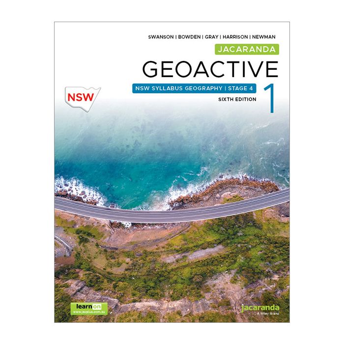
For the new NSW 7-10 Geography Syllabus, 2027 implementation
Geographical excellence mapped to every classroom terrain
Print and digital product
This title includes an eBook access code which is found on the inside cover of the Textbook. It is NOT emailed separately.
A free JacPLUS account is required to access your learnON eBook at www.jacplus.com.au. For more information on how to use/access your eBook, please check the officialJacPLUS Support Portal.
Jacaranda Geoactive NSW Sixth Edition is unmatched for geographical depth and flexible teaching, with a dedicated geographical toolkit, skills development with proven pedagogy and complete syllabus coverage.
Series Features
Comprehensive table of contents aligned to syllabus structure: Teachers and students can easily navigate the course and see direct alignment with syllabus requirements.
Lesson-based course structure: Provides clear, manageable lessons that support structured teaching and pacing.
Dedicated topographic map lessons in every topic: Develops essential geographical skills through focused instruction on map reading, interpretation and analysis, building confidence with this challenging skill area.
Dedicated SkillBuilder lessons: Ready-to-use lessons that build essential geographical skills through traditional and technological tools – meticulously planned down to the last detail so you can focus on teaching, not planning.
Pre-tests and post-tests for formative assessment: Enables teachers to measure learning growth and identify gaps at the start and end of topics, providing clear evidence of student progress.
Structured lesson design with learning intentions, starter activities and varied task types: Students understand what they're learning and why, with engaging entry points that activate prior knowledge and maintain interest.
AI literacy guidelines and activities embedded in every topic: Students develop essential 21st century skills and learn to use AI responsibly and effectively in their learning (includes a new framework for teaching AI literacy skills and teacher support notes).
jacTUTOR AI assistant available throughout for teachers and students: Provides on-demand, personalised support and explanations whenever needed, extending learning beyond classroom hours.
Embedded videos and interactivities at point of learning: Concepts come to life through multimedia, supporting different learning styles and increasing engagement at the exact moment students need it.
Differentiated question sets with instant feedback and exemplary responses: Students receive immediate guidance on their progress, see model answers, and can work at their own level, promoting independent learning.
Integrated SkillBuilder toolboxes throughout each lesson with interleaved practice: Students develop mastery through repeated practice over time, with skills reinforced across multiple contexts for better retention.
Comprehensive eWorkbook with lesson-aligned worksheets: Offers flexible practice options with ready-to-use resources that save teacher preparation time.
Real-time results tracking and progress monitoring for teachers and students: Teachers gain actionable insights into individual and class performance, while students can track their own learning journey, promoting accountability and informed intervention.
Extensive teacher resources including teachON Teaching Advice and Teaching programs: Reduces teacher workload with comprehensive planning resources and pedagogical guidance, enabling more effective delivery.
Flexible assessment tools including spaced and mixed practice, formative and summative options: Simple and quick to create, customise and download, enabling efficient assessment that improves retention and provides comprehensive evidence of learning.
Table of Contents
1 Geographical concepts and skills
[Focus Area] Landscapes and Landforms 2 Diverse landscapes and landforms 3 The value and protection of landscapes and landforms 4 Geomorphic hazards 5 Thinking and working geographically: Landscapes and landforms [Focus Area] Liveability of Places 6 Perceptions of liveability 7 Influences and impacts on liveability 8 Enhancing liveability 9 Thinking and working geographically: Liveability of places
[Focus Area] Water in the World 10 Water resources and their value 11 Water scarcity and water management 12 Hydrological and atmospheric hazards 13 Thinking and working geographically: Water in the world
[Focus Area] Interconnections and Trade 14 Interconnections: Personal, recreational and cultural 15 Interconnections: Transportation and technology 16 Trade flows 17 Production and consumption case study: Electric bikes 18 Thinking and working geographically: Interconnections and trade